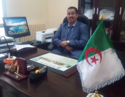
Dr. HABIBI Yahyaoui
MCA
Geography and Territory Planning Department - Earth Sciences and Universe Institute
Natural Hazards and Territory Planning Laboratory "LRNAT" - Mostefa Benboulaid Batna 2 University, Algeria
Contact
Geography and Territory Planning Department - Earth Sciences and Universe Institute
Natural Hazards and Territory Planning Laboratory "LRNAT" - Mostefa Benboulaid Batna 2 University, Algeria
Contact